
Find Wappinger Neighbors by Parcel
The public record around a Wappinger address is strongest when it stays at the parcel level. County mapping shows lot relationships. A property card adds the recorded owner, primary mailing address, assessment, sale, and deed-reference clues for one selected parcel. Tax rolls preserve a dated snapshot. Filed maps, deeds, and town planning files can explain a lot or project. None of those sources makes a current roster of everyone at a block.
| Source | What it shows about a block | Access |
|---|---|---|
| ParcelAccess | Nearby parcel polygons, parcel IDs, owner and mailing lines, map context | Public county map; 100-foot tool applies to a drawn polygon |
| Property card | Assessment, sale, deed references, parcel location, and selected owner information | Public after a parcel is selected; assessment snapshot only |
| Dutchess tax rolls | Dated parcel, owner, and tax entries for a chosen municipality and year | Current PDFs and historical municipal rolls from 1952 through 2019 |
| Filed maps and recorded documents | Lots, subdivisions, legal descriptions, and title-chain references | ParcelAccess and the County Clerk’s record routes |
| Town planning files | Project-specific plans, adjoining properties, easements, and notices | Posted files or a defined FOIL request |
| Town wards and hamlets | Broad geographic context for Wappinger neighbors | Town overview; no membership directory |
Parcel ownership is not the same as present occupancy. A tax mailing line can point to another property, an agent, a business, or a post-office box. For the full record chain along a named road, use the Wappinger streets directory; the closer block method remains limited to the adjacent lots shown by the map and records.
Map Wappinger Neighbors Within 100 Feet
Dutchess County’s ParcelAccess offers a concrete, narrow way to frame a block. Locate the target address, select its parcel, then use the Measure Tool to draw a polygon and the List Nearby Parcels tool to return parcels within 100 feet of that polygon. Zooming or clicking adjoining polygons also identifies the immediate map relationship. The county’s Highlight control can distinguish the current parcel from nearby results.
Address → selected parcel → drawn polygon → nearby parcel list → property cards → dated record notes.
- Open ParcelAccess and search the full address or parcel number. Confirm that the municipality is Town of Wappinger before following a town-only trail.
- Select the target parcel, then pan or click adjoining parcel polygons. For the mapped-radius option, draw a polygon with the Measure Tool and run List Nearby Parcels.
- Open a property card for each selected parcel. Record the parcel number, parcel location, owner line, mailing line, sale clue, and the assessment date attached to the information.
- Compare the current card with a dated tax roll or a filed map when the relationship is historical, irregular, or changed by subdivision.
Parcel lines are map context, not a surveyed legal boundary. The county expressly reserves title and survey questions to a complete title search or field survey. On rural or irregular parcels, the next mapped lot may not match the next visible street number.
Read Wappinger Neighbor Parcel Records
A ParcelAccess property card is a compact record inventory for one lot. It shows the Parcel Number, Parcel Location, Municipality, Owner Name, and Primary Owner Mailing Address. It can also include lot size, filed-map information, school district, land-use class, land and total assessments, taxable values, exemptions, last sale price and date, deed book and page, and sale condition. The useful bridge is the parcel number and deed reference, not an unsupported conclusion from the owner line.
| Parcel Location | The physical parcel or situs location used in the assessment system |
|---|---|
| Primary Owner Mailing Address | The address used for mail by the assessment record, which can differ from the parcel location |
| Transfer trail | Last sale date and price, deed book and page, sale condition, and number of parcels where shown |
| Map limitation | County mapping carries no accuracy or completeness guarantee and does not settle title or survey questions |
The county refreshes assessment information around May 1 and July 1, while the ownership shown is tied to March 1. This timing quirk matters when comparing Wappinger neighbors. A later transfer may require the current tax roll, local assessor, or County Clerk document search rather than treating the property card as a same-day ownership report.
Compare Wappinger Neighbor Tax-Roll Dates
The Dutchess County tax-roll page provides current town, county, village, and school PDFs, plus historical municipal rolls for 1952 through 2019. Choose the municipality and year before using a PDF search. The county specifically lists a Town of Wappinger and Village of Wappingers Falls roll in its current cycle. A roll shows what was recorded for that year, not a live view of a block.
The official tax-roll access page is the source for Wappinger neighbors when the question is tied to a particular assessment year.
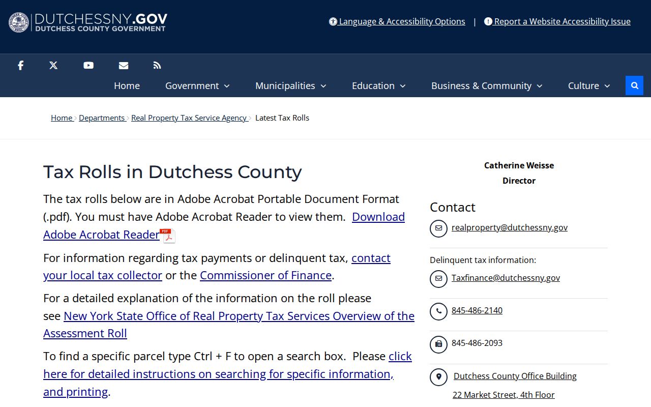
For the 2026 cycle, the county says town and county rolls were based on July 1, 2025 final assessment rolls. Put the roll year beside every parcel note. A current card, a 2019 roll, and an older map can all be accurate records of different times.
Note: Tax-roll information is strongest when the municipality, year, parcel number, and printed street form are recorded together.
Place Wappinger Neighbors by Ward
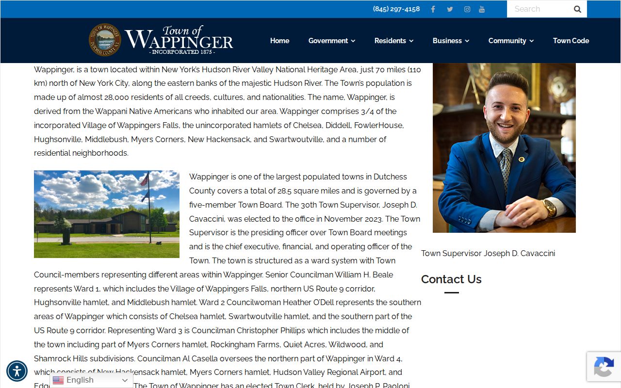
The Town’s ward and hamlet description supplies useful community context without turning a neighborhood into a member list. It identifies Ward 1 with Wappingers Falls, northern Route 9, Hughsonville, and Middlebush; Ward 2 with Chelsea, Swartwoutville, and southern Route 9; Ward 3 with part of Myers Corners and several named subdivisions; and Ward 4 with New Hackensack, Myers Corners, the airport, and Edgehill Manor. These terms help organize map, minute, and historical searches.
| Town context | Place names for a search | Boundary |
|---|---|---|
| Ward 1 | Wappingers Falls, northern Route 9, Hughsonville, Middlebush | Ward description, not a postal or association boundary |
| Ward 2 | Chelsea, Swartwoutville, southern Route 9 | Use parcel municipality to confirm a record |
| Ward 3 | Myers Corners, Rockingham Farms, Quiet Acres, Wildwood, Shamrock Hills | No town member roster was verified |
| Ward 4 | New Hackensack, Myers Corners, airport, Edgehill Manor | Geographic context only |
The Town of Wappinger overview provides this ward, hamlet, and subdivision context for a neighbor search.
Wappingers Falls also crosses town lines. A village or postal label therefore does not settle the municipality. Confirm the parcel municipality and then the custodian named on the record.
Use Wappinger Neighbor History Contacts
No official Wappinger umbrella association directory or verified homeowner-member directory was located in the research. The safer community layer is municipal and historical context. Dutchess County’s municipal-historian directory identifies the Wappinger and Wappingers Falls local-history contact route, while town historical materials can help explain a road, civic project, or place name. Those sources are not a way to assemble a current list of people.
The Dutchess municipal-historian directory is the official handoff for a Wappinger or Wappingers Falls history question.
When a historical source uses Chelsea, Low Point, Carthage Landing, Hughsonville, Wappingers Falls, or pre-1875 Fishkill, retain that printed place name and test it against ParcelAccess before merging it with a modern Wappinger address.
Wappinger Voter Tools Do Not List Neighbors
The official New York Voter Lookup requires a voter’s county, first name, last name, date of birth, and address information. It is personal self-verification for registration and poll information. It has no block mode, street browse, or neighbor roster. Protected voter records are also kept separate under Election Law §5-508, so a result cannot be used to infer who does or does not live nearby.
| Official route | Useful Wappinger context | Not available from it |
|---|---|---|
| State Voter Lookup | A voter’s own registration and poll information after identity inputs | Name-only, street, or block browsing |
| Dutchess enrollment PDFs | Aggregate town, ward, and district enrollment data from 2020 and archived PDFs from 2003 onward | Addresses or an individual block list |
| Board of Elections forms | FOIL request and subject-matter list for a defined record question | A promise of a universal voter-file format or protected information |
The Dutchess County Board of Elections is the local source for registration administration and district information.
Aggregate enrollment figures can put a block into a ward or district context. They cannot turn a map of Wappinger neighbors into a set of named individuals.
Check Wappinger Neighbor Planning Records
Planning Board agendas, minutes, and posted plan documents are address-specific sources for development context. A file can identify an applicant, owner of record, parcel or subdivision plan, adjoining lots, easements, and project chronology. It can also point to a filed-map or recorded-document obligation worth verifying at the County Clerk. The file concerns a particular project, not a census of the block.
The Wappinger Planning Board meetings and minutes are the public route for posted project records.
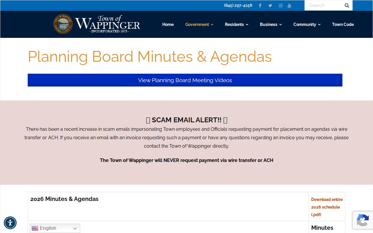
If a document is not posted, a focused FOIL request should name the address, project, date range, and desired existing record. FOIL concerns agency records; it does not require staff to create a neighbor report or answer an open-ended question.
Use Wappinger Neighbor Alerts Properly
Dutchess County’s Sheriff gateway provides a published-registry radius-search and email-alert route for safety awareness near a home, school, business, or other address. This official tool concerns published registry information under its own access rules. It is not a general person-search system and does not establish facts about unrelated people at a block. Preserve the agency, search date, and displayed status if an official result needs to be checked.
The Dutchess Sheriff alert gateway shows the local published-registry and alert route.
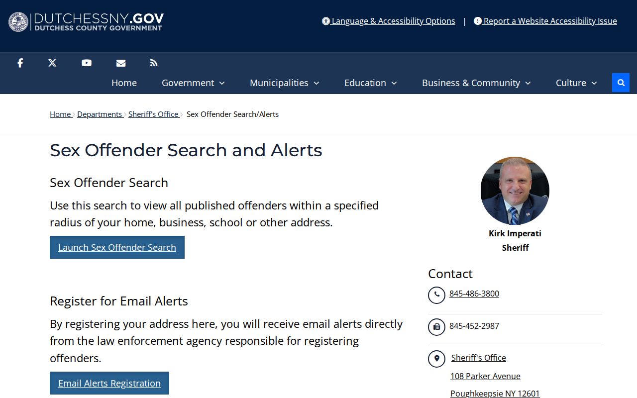
Use the official result only for lawful safety awareness and within the registry terms. Never use a radius result, an older address, or an absence from a screen to target, harass, or identify people who are not part of the published information.
Limit a Wappinger Neighbor Lookup
Several records stay private around a Wappinger block. Parcel maps do not identify every resident connected to a location. Voter records can be confidential. The Address Confidentiality Program requires agencies to use an approved substitute address unless a waiver applies. DMV information and utility, customer, and delivery data are not public block records. A missing name can reflect a protected record, a different municipality, a dated assessment snapshot, or a name variation.
The county map itself says that its information has no completeness guarantee and defers boundary and title questions to a title search or field survey. Correct a parcel or assessment issue through the local assessor or Dutchess Real Property Tax Service. For an existing municipal record, describe the document wanted under FOIL instead of asking an office to construct a list of neighbors.
Lawful use. Use Wappinger neighbor records for personal, family-history, estate, civic, or safety purposes. Never use a map or record to stalk, harass, threaten, or expose a protected person.