
Follow a Wappinger Street by Address
The useful Wappinger street-record trail begins with a parcel, not a household list. Wappinger includes most of the Village of Wappingers Falls, while part of that village lies in the Town of Poughkeepsie. A mailing line that says Wappingers Falls therefore needs a municipality check before it becomes a town record. Dutchess County ParcelAccess supplies that check through its address and map tools. The resulting parcel can lead to the owner of record, a dated tax entry, a sale reference, and a recorded instrument. It cannot establish who currently occupies a property.
Keep a dated note for every result. A property card, tax-roll PDF, deed image, planning file, and historic newspaper can each record a different moment. The owner line, primary mailing address, and parcel location have different meanings. Comparing their dates prevents an old mailing address or former grantor from being described as a present resident.
- Use the full address in ParcelAccess and select Town of Wappinger when the question is town-specific. If the parcel does not appear, use the county map or address assistance rather than treating the miss as proof that no record exists.
- Open the property card and note the parcel number, parcel location, owner name, last sale date, and deed book or page reference. Record the assessment date as well.
- Choose the right Wappinger tax-roll PDF or historic roll. The county provides current rolls and historic municipal rolls from 1952 through 2019, which are dated parcel evidence.
- Take the owner and sale reference to County Clerk Document Search. Search party names last-name-first, use a date range, then compare the municipality and legal description before accepting a deed link.
- For an old address form, pair the parcel record with the 1940/41 Wappingers Falls telephone book, Grinnell newspaper microfilm, or a catalog search. Those sources supply context, not a verified reverse directory.
Note: A street result becomes more reliable when the parcel number, municipality, date, and named party agree across the records being compared.
Search Wappinger Streets in ParcelAccess
Dutchess County ParcelAccess separates an address into components rather than asking for a single free-form street line. In address mode, enter a number when known, then the street name and any direction or suffix, and select the municipality. A partial street name is accepted, but it can produce many parcels. When the physical address is not recognized, owner-name search or a parcel-lot search can provide another route. The interface also has Sales, Assessments, and Filed Maps modes for a narrower Wappinger street search.
| ParcelAccess field | How it works | Wappinger use |
|---|---|---|
| Number | Optional street-number component | Start with it when the house number is known. |
| Street | Required in address mode; partial text accepted | Use a fuller name when a broad result needs narrowing. |
| Predir, Postdir, Suffix | Optional direction and suffix controls | Match the address form shown on a tax roll or map. |
| Municipality | Required for a focused address search | Select Town of Wappinger rather than relying on a postal label. |
| Owner name | Last name, optional first name | Use after an address mismatch or to find indexed parcels. |
| Parcel Lot # | Parcel identifier with municipality | Use the legal and tax-map route when street text has changed. |
The map also offers aerial imagery, terrain and lot-line views, plus filed-map material. Spring 2025 imagery can help orient a parcel on a block. It does not settle a title or survey question, and the county expressly makes its map information subject to a complete title search or field survey.
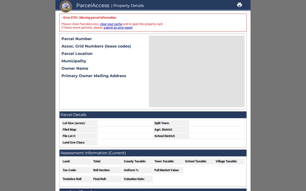
ParcelAccess displays the same address logic shown in this official property-card view.
Wappinger Street Directory Clues
Three labels often appear side by side in a Wappinger address search, but they are not interchangeable. Parcel Location is the situs address, meaning the physical parcel location. Primary Owner Mailing Address is the tax correspondence address and may be a post office box, business address, agent, or another property. The parcel number and legal description are document-oriented identifiers that can bridge an older deed, filed map, and tax roll even when street wording changes.
- Parcel
- A mapped taxable property unit identified by a county parcel number and related lot information.
- Situs address
- The physical parcel location shown as Parcel Location in ParcelAccess.
- Legal description
- The parcel, lot, map, or written land description used to connect recorded documents.
- Plat or filed map
- A recorded map that can show lots and subdivision context; it does not replace a survey.
The property card can show lot size, school district, land-use class, assessment and taxable values, tax code, roll section, last sale price and date, deed book/page, and building or site information. Exemption fields and a mailing address should be read narrowly. They are not proof of occupancy or household membership. The county says displayed ownership is tied to the March 1 taxable-status date, with assessment information refreshed around May 1 and July 1. That makes the Wappinger street directory an address-record tool, not a household list.
Wappinger Street Directory Layers
A useful by-street search changes sources as the question changes. ParcelAccess supplies the geographic start. Tax rolls preserve annual owner and parcel context. The Clerk holds recorded documents, while town planning files can place an address within a documented project. Each source has a different date and a different limit, so preserve the source name beside each observation.
| Address record | Local keeper | Street evidence | Access boundary |
|---|---|---|---|
| ParcelAccess map and search | Dutchess Real Property Tax Service | Parcel location, owner, mailing line, map context | Public county tool; assessment snapshot applies. |
| Property card | Dutchess Real Property Tax Service | Assessment, sale pointer, deed book/page, parcel fields | Public after parcel selection; not a title opinion. |
| Tax rolls | Dutchess County | Dated owner, address, parcel, and tax context | Choose the correct municipality and year. |
| Recorded documents | Dutchess County Clerk | Parties, document type, recording date, legal references | Party and document search, not street-address search. |
| Planning material | Town of Wappinger | Project address, applicant, owner of record, lot or plan | Project-specific files or a precise FOIL request. |
Dutchess County tax rolls include current municipal material and historic rolls from 1952 through 2019. Use the Town of Wappinger or Village of Wappingers Falls listing that matches the parcel’s municipality. A roll is a dated record, not a live billing ledger or a roster of people at the address. In a Wappinger street directory search, retain the roll year beside the parcel reference.
The County Real Property Tax Service agency explains the assessment and roll context behind those Wappinger street records.
The Dutchess voter enrollment-data page is the official source for this geographic context.
Connect a Wappinger Street to Deeds
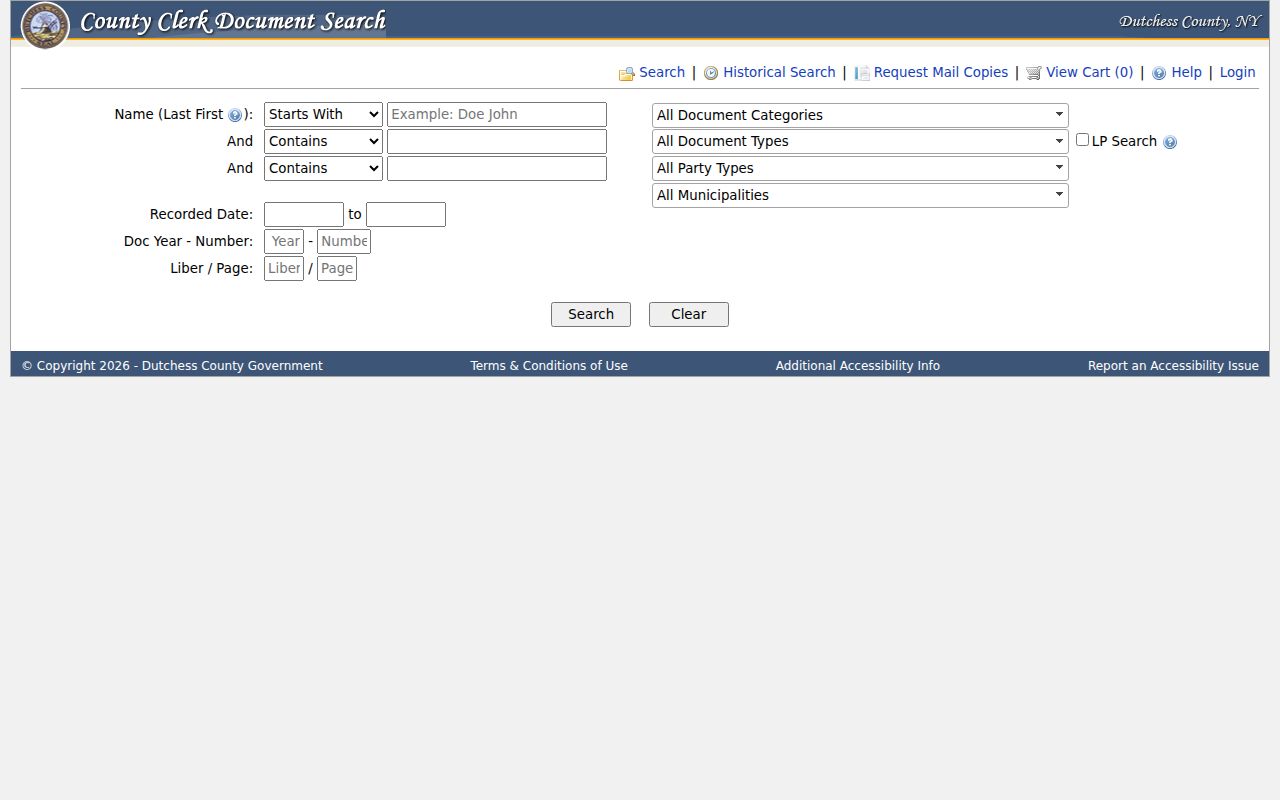
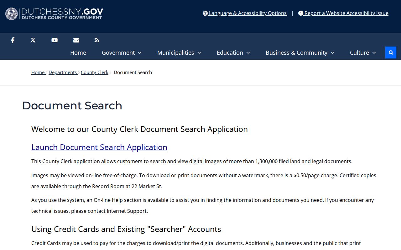
Dutchess County Clerk Document Search is party, date, and document oriented. It is not an address search. Bring the property-card owner, last sale date, deed book/page, municipality, and legal description to the index. The Clerk’s instructions support last-name-first searching, partial names, up to three joined name criteria, and modifiers such as Starts With and Contains. Compare the document type, municipality, recorded date, and references before adding it to a Wappinger street chain.
A deed image may name a grantor and grantee, show a recorded date, document number, liber and page, municipality, and related description. To step back, identify the seller on the current owner’s acquisition document, then find that seller’s own acquisition as grantee. Legal description, lot, and filed-map references matter because an older instrument may omit modern street text and parcels may have been subdivided.
Document Search offers both standard and Historical Search modes, online image viewing, mail-copy requests, and help. The county reports deed images from July 7, 1907 in its posted online ranges. For earlier material, use the Clerk Record Room and historical indexes rather than concluding that a missing online image means no deed exists.
The County Clerk deed-index search is the source shown in this record-search screen.
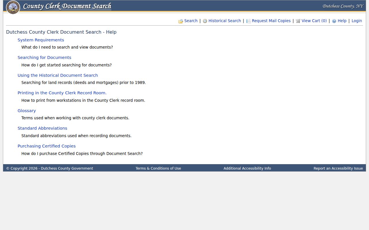
The Clerk’s Document Search help describes the historical-search, record-room printing, and certified-copy routes.
Compare Wappinger Street Index and Image
The County Clerk reports more than 1.3 million filed land and legal document images. A result-grid entry points to a record, but the image and its stated access conditions answer a different question. Images may be viewed online free. A download or print without a watermark costs $0.50 per page, and certified copies are available in the Record Room. When exhibits or supporting papers have an uncertain page count, the Clerk’s route is a mailed request with a not-to-exceed payment choice.
| Index result | Document image or counter copy |
|---|---|
| Shows indexed party name, role, type, year, document number, liber/page, municipality, and recorded date. | Lets the researcher read the recorded instrument and its legal description, subject to historical and access limitations. |
| Helps find a candidate filing and organize a date range. | Supports comparison of parties, lot references, and prior-record citations. |
| Does not settle title, survey, or current occupancy. | Still requires careful reading and may require a certified or record-room copy for the purpose at hand. |
The Clerk’s Document Search information page describes collection coverage and document-copy access.
Use Wappinger Planning Files by Address
Town Planning Board agendas and minutes can add an address-specific project timeline. Posted plans and applications may identify an applicant, owner of record, parcel or subdivision, nearby lots, easements, and dated project steps. That makes the material helpful for understanding a proposed or recorded land-use project, not for creating a list of occupants on a Wappinger street.
When a needed project file is not posted, a precise FOIL request to the department holding it is the documented fallback. State the address, project or meeting date, document type, and parcel information if known. Broad requests are less likely to identify the right record, especially where a street name has a historic variant or the relevant parcel uses a Wappingers Falls postal label.
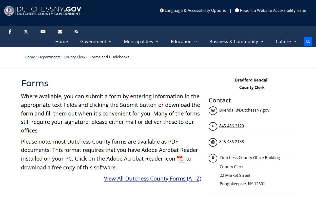
The County Clerk’s forms and guidebooks page supplies an official counter and request reference for related document work.
Date Wappinger Tax-Roll Records
Tax-roll timing matters when a Wappinger address has changed hands. The county says tentative assessment rolls are updated around May 1 and final rolls around July 1. ParcelAccess displays ownership as of the March 1 taxable-status date. Its current roll listings include 2023 through 2026 material, while the historical municipal roll collection reaches from 1952 through 2019. Record the year and roll type before comparing a name, address, or assessed value across a street.
The county directs delinquent-tax questions to the local collector or County Commissioner of Finance rather than treating a parcel card as a live billing record. For a transfer after the dated assessment snapshot, compare the most-current roll, assessor or Real Property office information, and County Clerk documents. That sequence keeps a Wappinger property observation tied to its documented date.
Wappinger Streets Have Place-Name Traps
Wappinger’s local geography creates a real search quirk. The town was created from Fishkill in 1875, and Wappingers Falls incorporated in 1871. The village crosses town lines, so Wappingers Falls is not a reliable municipality label by itself. For an older Wappinger street record, test Fishkill, Wappingers Falls, Chelsea, Low Point, Carthage Landing, Hughsonville, and the relevant hamlet alongside the present address. A parcel municipality and the custodian named on the document remain the final checks.
The Town of Wappinger’s geographic overview lists Chelsea, Diddell, Fowler House, Hughsonville, Middlebush, Myers Corners, New Hackensack, and Swartwoutville. Chelsea was previously called Low Point and Carthage Landing, while older Hughsonville notices can use Route 9D or Wappingers Falls. Those variations are useful catalog and newspaper terms, not proof that any particular address has stayed unchanged.
Historic newspaper runs at Grinnell and the New York State Library’s 1940/41 Wappingers Falls telephone book can supply dated support. No local reverse or criss-cross directory title was verified, so the historical material should never be represented as a complete street-by-street roster. For the collection details, use the Wappinger city directory material.
Note: Search old locality names only as leads, then match them to a parcel, map, municipal record, or dated primary source.
Keep Wappinger Street Searches Narrow
A Wappinger by-street search can identify address-linked public records, but it cannot reveal every person who lives along the street. Property ownership differs from residency. A primary owner mailing address can differ from the parcel location. A deed chain can skip leases, informal occupancy, recent transfers, and later parcel changes. County tax and assessment data can also lag after the March 1 taxable-status date and between updates.
New York voter lookup requires an individual’s name, date of birth, county, and address. It has no street-only or neighbor-browse result. Dutchess enrollment PDFs are aggregate town, ward, and district data, and confidential registrations are protected. DMV, utility, customer, delivery, and protected-address data are not public street layers. The state Address Confidentiality Program and confidential voter rules can lawfully keep an address out of an otherwise expected search.